Meghalaya
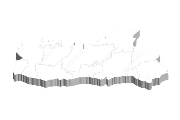
Districts in Meghalaya
East Garo Hills
HQ: Williamnagar
Population: 317,618
Area: 2,603 km²
Density: 121 per km²
East Khasi Hills
HQ: Shillong
Population: 824,059
Area: 2,752 km²
Density: 292 per km²
East Jaintia Hills
HQ: Khliehriat
Population: 122,436
Area: 2,115 km²
Density: 58 per km²
Eastern West Khasi Hills
HQ: Mairang
Population: 131,451
Area: 1,356 km²
Density: 97 per km²
North Garo Hills
HQ: Resubelpara
Population: 118,325
Area: 1,113 km²
Density: 106 per km²
Ri Bhoi
HQ: Nongpoh
Population: 258,380
Area: 2,378 km²
Density: 109 per km²
South Garo Hills
HQ: Baghmara
Population: 142,574
Area: 1,850 km²
Density: 77 per km²
South West Garo Hills
HQ: Ampati
Population: 172,495
Area: 822 km²
Density: 210 per km²
South West Khasi Hills
HQ: Mawkyrwat
Population: 110,152
Area: 1,341 km²
Density: 82 per km²
West Garo Hills
HQ: Tura
Population: 642,923
Area: 3,714 km²
Density: 173 per km²
West Jaintia Hills
HQ: Jowai
Population: 270,352
Area: 1,693 km²
Density: 160 per km²
West Khasi Hills
HQ: Nongstoin
Population: 385,601
Area: 5,247 km²
Density: 73 per km²