Uttarakhand
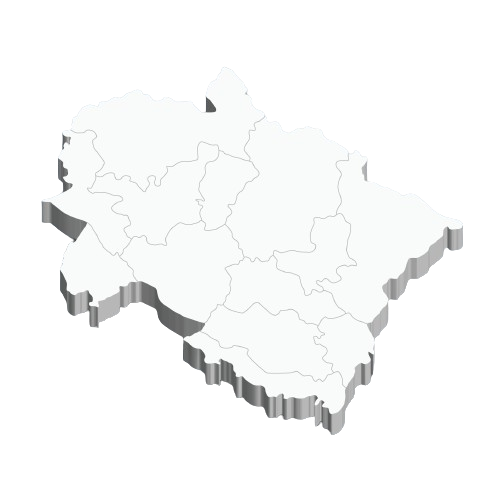
Districts in Uttarakhand
Almora
HQ: Almora
Population: 621,927
Area: 3,090 km²
Density: 198 per km²
Bageshwar
HQ: Bageshwar
Population: 259,840
Area: 2,310 km²
Density: 116 per km²
Chamoli
HQ: Gopeshwar
Population: 391,114
Area: 7,692 km²
Density: 49 per km²
Champawat
HQ: Champawat
Population: 259,315
Area: 1,781 km²
Density: 147 per km²
Dehradun
HQ: Dehradun
Population: 1,698,560
Area: 3,088 km²
Density: 550 per km²
Haridwar
HQ: Haridwar
Population: 1,927,029
Area: 2,360 km²
Density: 817 per km²
Nainital
HQ: Nainital
Population: 955,128
Area: 3,853 km²
Density: 225 per km²
Pauri Garhwal
HQ: Pauri
Population: 686,527
Area: 5,438 km²
Density: 129 per km²
Pithoragarh
HQ: Pithoragarh
Population: 485,993
Area: 7,110 km²
Density: 69 per km²
Rudraprayag
HQ: Rudraprayag
Population: 236,857
Area: 1,896 km²
Density: 119 per km²
Tehri Garhwal
HQ: New Tehri
Population: 616,409
Area: 4,085 km²
Density: 169 per km²
Udham Singh Nagar
HQ: Rudrapur
Population: 1,648,367
Area: 2,912 km²
Density: 648 per km²
Uttarkashi
HQ: Uttarkashi
Population: 329,686
Area: 7,951 km²
Density: 41 per km²